Definition 3.6.1 Gerrymandering
Gerrymandering is when districts are drawn based on the political affiliation of the constituents to the advantage of those drawing the boundary.
In most states, there are a fixed number of representatives to the state legislature. Rather than apportioning each county a number of representatives, legislative districts are drawn so that each legislator represents a district. The apportionment process, then, comes in the drawing of the legislative districts, with the goal of having each district include approximately the same number of constituents. Because of this goal, a geographically small city may have several representatives, while a large rural region may be represented by one legislator.
When populations change, it becomes necessary to redistrict the regions each legislator represents (Incidentally, this also occurs for the regions that federal legislators represent). The process of redistricting is typically done by the legislature itself, so not surprisingly it is common to see gerrymandering.
Gerrymandering is when districts are drawn based on the political affiliation of the constituents to the advantage of those drawing the boundary.
Consider three districts, simplified to the three boxes below. On the left there is a college area that typically votes Democratic. On the right is a rural area that typically votes Republican. The rest of the people are more evenly split. The middle district has been voting 50% Democratic and 50% Republican.
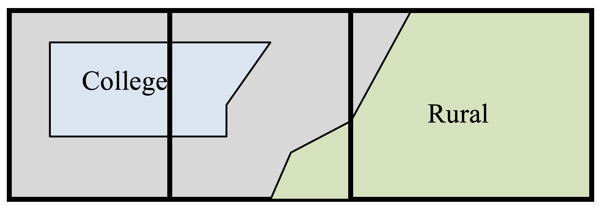
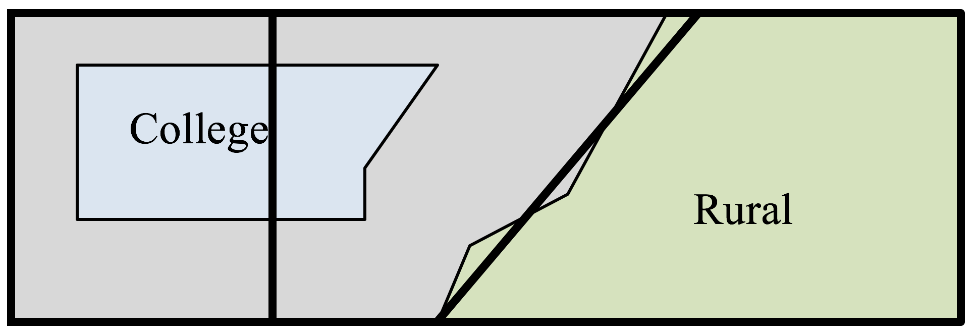
As part of a redistricting, a Democratic led committee could redraw the boundaries so that the middle district includes less of the typically Republican voters, thereby making it more likely that their party will win in that district, while increasing the Republican majority in the third district.
The map to the right shows the 38th congressional district in California in 2004
http://en.wikipedia.org/wiki/File:California_District_38_2004.png
. This district was created through a bi-partisan committee of incumbent legislators. This gerrymandering leads to districts that are not competitive; the prevailing party almost always wins with a large margin.2 The map to the right shows the 4th congressional district in Illinois in 2004.
http://en.wikipedia.org/wiki/File:Illinois_District_4_2004.png
This district was drawn to contain the two predominantly Hispanic areas of Chicago. The largely Puerto Rican area to the north and the southern Mexican areas are only connected in this districting by a piece of the highway to the west.